Petestack Blog

10 November 2014

November Fastpacking

Filed under: Running,Walking — admin @ 7:59 pm

After getting my Ultimate Direction SJ Ultra Vest 2.0 in May and loving it, I was keen to add something similar but larger for the kind of hill days when I needed a greater capacity. But it seemed that it just didn’t exist, with UD’s own PB Adventure Vest only so much bigger and looking marginal for fit with the M/L size topping out at my required 40″ chest and the Salomon packs not appealing so much to me. But then I got wind of the new UD Fastpack 20 (due out September) with M/L size specified for 32″ to 46″ chest and a configuration that looked just right, would have taken it there and then if I could have got my hands on one, and promptly pre-ordered from Castleberg Outdoors. After which the entire UK stock appeared to get held up for a while in customs and I finally got it mid-October, but was unable/unwilling to get out and test it for a while with a spell of atrocious wet weather. So now it’s had a couple of outings (the Devil’s Staircase and Beinn a’ Chrulaiste last weekend for Graham Kelly’s final Corbett and a 20-mile bash round the Coulin Forest peaks yesterday for my Munros/Tops/Deletions quest), what do I think?

Well, it’s good, very good, though I’m not yet convinced by changes to the design of the front pockets. The left pocket is OK, being basically the same as the Ultra Vest pockets, though you do feel the rigid bottles a little more in there and I’m trying the softer Body Bottles just now. But their tapered shape seems less secure in the right pocket (which has a resizing zipper rather than drawcord), with my right bottle getting launched from its pocket several times yesterday on lurching or bending forwards and a similar problem last weekend with my mobile phone escaping the gel/bar pouch there, though it seemed plenty secure enough for cereal bars yesterday. This single pouch does also seem a little stingy when the Ultra Vest has four (two on each side), and there’s unutilised space above the bottle pockets that could have been given to further lidded pouches as done on all the Signature Series vests. That said, everything else is brilliant. I’ve used roll-tops with a single centre clip before on my GoLite packs, but find the new UD arrangement with two side clips much more effective in keeping the roll tidily secure. The vest-style harness is excellent once properly adjusted, giving me an impressively bounce-free carry with the two chest straps well-separated by sliding right up and down and the ability to maintain this for widely differing loads by shortening/lengthening these and the two lower harness straps. On which note I should point out that, like the Ultra Vest, the Fastpack fits ‘smaller’ as you pack it fuller; I could maybe wear the S/M size (24″ to 40″ chest) when lightly packed but guessing I’d run out of adjustment quite quickly when loading it up. The overall shape and capacity is just right, though it took the attached leaflet (or should I say card tags?) and not UD’s site to tell me that the S/M and M/L achieve the same capacity by being slightly different shapes for different torso as well as chest sizes. Current (slight) criticisms of the front pockets apart, the side/back mesh pockets, secure zipped side pocket, ice axe loops, daisy chains etc. all seem excellent and the bottom line is that packs of this (vest) style, capacity and configuration don’t grow on trees; if that’s what you want (as I did), you’ve probably currently got a choice of one and you’re likely to be happy with with it. As I am!

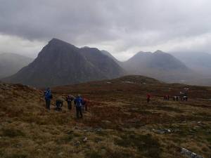
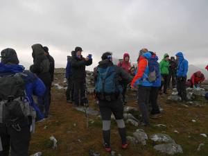
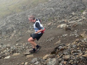
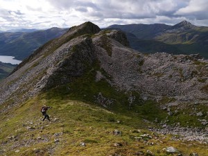
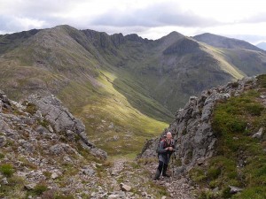
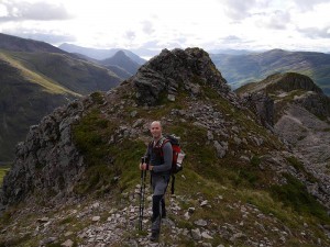
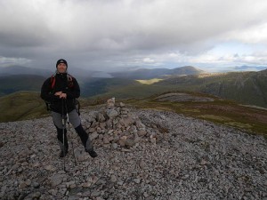
So that’s the Fastpack ‘review’, but what of the trips I’ve been testing it on? Well, Graham managed to pick a surprisingly viable day (Saturday 1 November) for Beinn a’ Chrulaiste, with the incessant rain only really returning for the descent and subsequent evening in the Clachaig (from whence I was kindly driven home by his sister Irene after effectively marooning myself by my morning run over to Altnafeadh to join the ascent party). But, since I haven’t got a photo of the wonderful ‘dram cam’ (whisky bottle with attached, drinker-oriented GoPro) in action, you’ll have to make do with a couple of others instead…

2014-11-01ascent 2014-11-01summit

As for yesterday, that was just a case of taking a gift (a stunning November day after so much poor weather) and getting up early enough (5:10am) to make the most of it. So I’d considered other, shorter, objectives (eg Fionn Bheinn or Moruisg/Sgurr nan Ceannaichean) from my dwindling, North-West cluster of remaining Munros, Tops and Deletions, and kept them up my sleeve as reserves, but just had to go for the long-admired big Corbett of Fuar Tholl and potentially awkward trio of Coulin Forest Munros. Perhaps surprised to meet a fair number of folk on what I’d never thought of as particularly popular peaks, but guessing I’m the only one who did all four! For which I chose the delightfully irregular footwear of Asics Gel Enduros, which aren’t the best on steep grass and moss (not that anything would have been great on all that frosted scree!) but stayed comfortable for my problem feet where I might have taken my Wave Harriers (which got left in the van along with axe and spikes) had I got them half a size larger for thicker, more ‘cold weather’ socks. Would also have liked to add the terrific-looking An Ruadh-stac, but it was never on the agenda with darkness and the Stromeferry Bypass cut-off in mind.

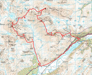
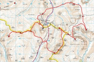
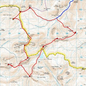
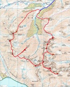
Key to annotated map as follows:

  1. Went too high because the river looked big lower down, but it was still flowing quickly down an awkward mini gorge up here.
  2. Nearly changed my mind about which ridge to climb.
  3. You wouldn’t want to stumble over the Mainreachan Buttress in poor visibility!
  4. While you lose a lot of height down here, the good stalker’s path makes for a better link-up than Irvine Butterfield’s High Mountains suggests.
  5. I took Hidden Gully as per Dan Bailey’s Great Mountain Days in Scotland, but think its right edge (described by Iain Thow in Highland Scrambles North as North Flank, Grade 1/2) probably better when dry.
  6. Took in Meall nan Ceapairean because I got told on the summit of Maol Chean-dearg that it’s a Graham, but wasn’t surprised to discover that it’s not (nothing like enough re-ascent!).
  7. My GPS track is obscuring the rather nice Coire Fionnaraich bothy.
  8. Followed the obvious landrover track in near darkness and missed the short cut to Coulags.

2014-11-09map

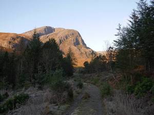
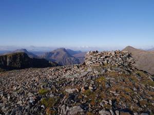
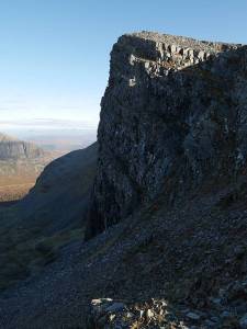
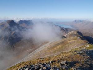
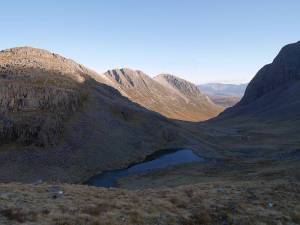
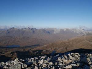
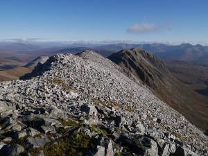
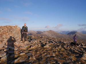
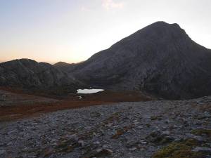
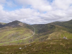
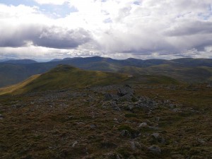
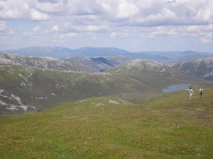
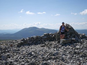
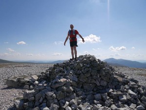
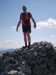
And some photos to prove it was all worth it!

2014-11-09fuartholl1 2014-11-09fuartholl2

2014-11-09mainreachan 2014-11-09lochtorridon

2014-11-09coirelair 2014-11-09liathachandbeinneighe

2014-11-09beinnliathmhor 2014-11-09maolcheandearg1

2014-11-09anruadhstac 2014-11-09maolcheandearg2

28 September 2014

Feshie

Filed under: Running — admin @ 11:02 pm

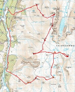
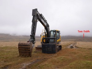
Took a trip to the Glen Feshie Munros on a so-so forecast today with them being the nearest I’d not done (had Carn Ban Mor from ML Assessment years ago, but the rest were ‘new’). And what a strange day it was, with a misjudged start (hindsight saying just take the road and track to the north of my lousy experimental line!) followed by much gently undulating traversing like wandering around in cloudy fields with a high-altitude bulldozer (marked by the flag on the map) providing the most interesting view, but a good finish when I got a hitch up the last wee bit of road after 23 miles on foot. Made a lengthy detour to pick up the insignificant nubble of Tom Dubh (memorably described by Irvine Butterfield as ‘the most meaningless 3000ft ‘top’ in all Britain’!), but Leth-chreag to the south will keep till I go back for my final Cairngorm Munros of Monadh Mor (to which it belongs) and Beinn Bhrotain.

Just 26 Munros, 12 Tops and 7 Deletions left to go out of c.600 peaks that have been in Munro’s Tables, with only 4, 1 and 2 of these respectively south of the Great Glen, so it’s really starting to feel like ‘endgame’ now :-)

2014-09-28map

2014-09-28bulldozer

15 September 2014

Northern Pinnacles

Filed under: Climbing,Running — admin @ 10:25 pm

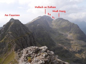
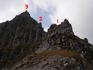
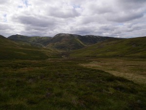
Meall Dearg and the Northern Pinnacles of Liathach have been calling me ever since I first set eyes on them on a conventional east-west traverse of Liathach 29 years ago. But now I really needed Meall Dearg with the Munro/Top quest not complete without this ‘most difficult top’ (to quote Irvine Butterfield’s somewhat debatable description), so thought I’d go take a look yesterday…

2014-09-14topo 2014-09-14pinnacles

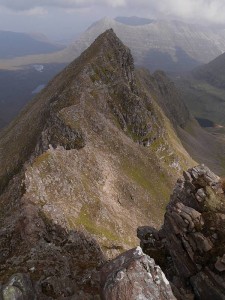
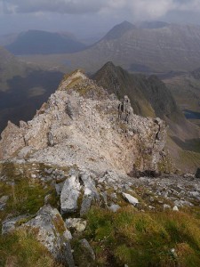
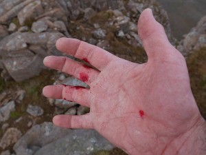
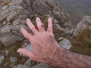
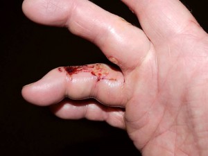
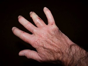
It’s a compelling line, sensibly described by Iain Thow in Highland Scrambles North as ‘a serious and exposed route’ and meriting a climbing grade (Moderate) rather than scrambling equivalent. Iain’s ‘direct’ route starts near the foot of an impressive, but grotty-looking, buttress (extreme right of first photo) rising to the east of Loch Coire na Caime, and here I found his description a little vague in approaching from the Coire Mhic Nobuil/Beinn Eighe path, but think I found the right ‘left-slanting weakness’, which he does warn you is ‘harder than it looks’ and I can only describe to non-connoisseurs of mixed grass, heather, earth and rock as both truly vile and a wee bit scary. But things improve rapidly as the buttress becomes a fine ridge leading to Meall Dearg, though I’d already given myself quite a handicap in getting there by pulling a large block (say 20 x 16 x 5 inches) I shouldn’t have touched off a ledge not far above the vile weakness (note that this route is serious as much for loose/shattered rock at all levels as its significant exposure) and somehow mashed my fingers deflecting it over my shoulder instead of into my chest! And then you have the stunning summit of Meall Dearg, with scant room for the tiniest of cairns and looking quite sensationally steep in retrospect from above, followed by the Northern Pinnacles (which Iain describes very well) themselves with much borderline scrambling/climbing ground culminating in a couple of properly thought-provoking moves up the slab and wall that form the direct finish to the fourth pinnacle. Which now brings you easily to the summit of Mullach an Rathain, with a pleasant west-east traverse of the main ridge (where I’d rate the Fasarinen pinnacles in dry summer conditions as a little easier and certainly less continuously committing than the Aonach Eagach) to take you back to the logical start/finish point at the car park at the foot of the Beinn Eighe path. A superlative day out on the mountain described with at least partial justification by W.A. Poucher as ‘the mightiest and most imposing in all Britain’, with the Northern Pinnacles (being as technical and consequential as much of the Cuillin ridge) just the icing on the cake for those with the requisite experience.
2014-09-14mealldeargfromthirdpinnacle 2014-09-14mealldeargfromtop

So what of the mashed fingers? Well, they’d become a weeping ball of fire by this morning, with the third finger (which clearly took the brunt of it) now quite puffed up, still weeping, bruising on the other side and unable to bend, but not significantly more crooked/twisted than normal since they all starting getting arthritic a few years back. And, while it didn’t stop me finishing the traverse or driving home from Torridon, I’m not going to pretend it doesn’t hurt!
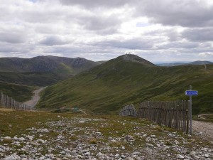
2014-09-14hand1 2014-09-14hand2

2014-09-15hand1 2014-09-15hand2

8 September 2014

Slowest Ben yet!
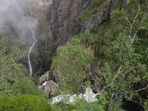
Filed under: Running — admin @ 7:24 pm

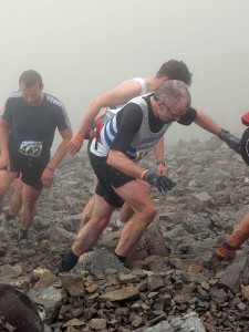
Fair to say I got what I deserved when I’d neither been training ‘for’ it nor been well the preceding week, but afraid my 2013 Ben Race optimism’s now been followed by a new 2014 worst of 2:18:41 and placing outwith the top 200. Which, despite a pretty decent ascent once I’d finally escaped the usual ‘snakes’, was so obviously forged in a descent of such caution I’d have to concede that even 2:05 (let alone that pie-in-the-sky sub-2:00) remains beyond me unless I can learn to run down the thing properly in the next year or two. So there’s now over 11 minutes (rather than under 8) between my best and worst and, while some might argue that’s still ‘consistent’, I think perhaps the writing’s on the wall…

2014 2:18:41
2013 2:07:27
2012 2:11:41
2011 2:15:17
2010 -------
2009 -------
2008 2:08:35
2007 2:12:26
2006 2:08:22
2005 2:10:43
2004 2:13:55

OLYMPUS DIGITAL CAMERA OLYMPUS DIGITAL CAMERA

(With thanks to Noel Williams for the photos!)

26 August 2014

Rest of Glen Shee

Filed under: Running — admin @ 10:12 pm

Exactly a month after blitzing the hills west of Glen Shee with Marie Meldrum, Sunday saw me back alone to mop up the ‘rest of Glen Shee’. And, having already described the previous batch as ‘easy-going Eastern puddings, not numbered among the country’s greatest peaks’, there’s little faint-praise-wriggle-room left for the frankly-not-very-exciting Glen Shee hills proper (no doubt somebody’s favourites!), with neither the obvious brutally-developed eyesores of the Cairnwell (which I’m afraid I’d previously done in passing many, many years ago) and Carn Aosda (which I hadn’t) nor the likes of the not-significantly-more-awesome Glas Maol comparing even to the Glen Ey round. But they had to be done and, being pretty runnable, were dispatched in decent time after the unwanted detour to Braemar and wait for the filling station to open (nominally 10:00am on Sundays, though I got through a few minutes earlier) without which I might not have got home again. So (to keep the day’s work to a single paragraph) decent running hills but glad I don’t have to do them all again soon, stunning views to the North Sea, Lomonds and beyond, thanks to the friendly walker (not Prince Charles, who was apparently out on the noble peak of Glas Maol!) I met on Carn a’ Gheoidh for replenishing one of my bottles, and dare I start talking ‘endgame’ with just 28 Munros, 18 Tops and 9 Deletions still to do of the 600-odd summits that have ever been listed in Munro’s Tables?

2014-08-24map

2014-08-24glenshee1 2014-08-24glenshee2

2014-08-24glenshee3 2014-08-24glenshee4

Now, having just admitted yet again to the daftest quest to collect complete (properly complete!) lists of hills irrespective of ‘quality’, perhaps it’s not the most sensible time to tell you how much higher I’d rate the ‘Loch Leven’ Garbh Bheinn (which I can see from my window) than any of the sub-puddings I just drove three hours each way to do. But, having just traversed it yet again the previous afternoon with Matt Watts, it was very much on my mind with no escaping the obvious truth that this Corbett (a damn fine hill though not even the finest ‘Corbett’ Garbh Bheinn) is quite simply more shapely, more interesting and (dare I say it?) just ‘better’! ;-)
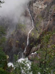
2014-08-23garbhbheinn1 2014-08-23garbhbheinn2

2014-08-23garbhbheinn3 2014-08-23garbhbheinn4

2014-08-23garbhbheinn5

12 August 2014

Squares, stars, wheels and kelpies

Filed under: Music,Running,Uncategorized — admin @ 11:27 pm

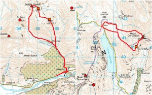
Some tidying up of ‘Munro’ odds and ends last week, with Thursday as ‘deleted Top (square) day’ seeing the missing bumps (which quite frankly probably all deserved to be deleted!) on Meall Garbh and Meall Corranaich efficiently dispatched…

2014-08-07map

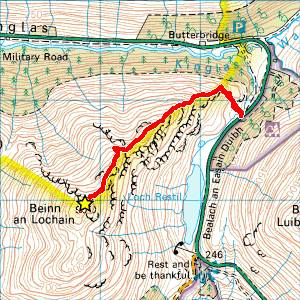
And Friday providing a good opportunity to bag long-demoted, but in no way diminished, ex-Munro Beinn an Lochain (still fully deserving that Corbett star!) en route to my mum’s for the weekend…

2014-08-08map

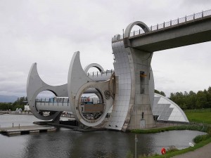
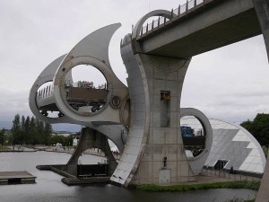
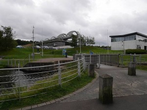
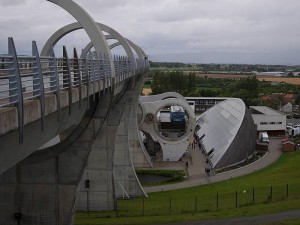
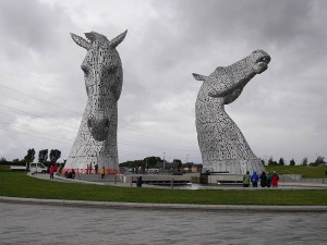
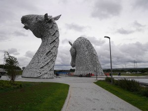
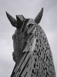
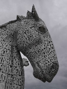
Which brought us two good trips together, with Saturday spent in Edinburgh at the Hebrides Ensemble lunchtime concert and Scottish Parliament to see the Great Tapestry, and Monday at the 12-year-old Falkirk Wheel (which I’ve been meaning to visit since it was built) and newly-completed Kelpies. And the Wheel/Kelpies combination is a great double act with obvious common ground in their stunning blend of art, engineering and watery purpose, and the Kelpies in particular suddenly making huge sense (as portal to the new canal extension rather than ‘just’ monumental sculpture) in growing logically from their environment in a way you just don’t appreciate from the motorway. So, with Wheel and Kelpies alike set in thoughtful, attractively landscaped parks where you could spend considerable time happily wandering on a fine day, what else can I say but ‘thoroughly recommended’? Except just watch the time-lapse (construction) and aerial videos on the Kelpies site! :-)

2014-08-11wheel1 2014-08-11wheel2

2014-08-11wheel3 2014-08-11wheel4

2014-08-11kelpies1 2014-08-11kelpies2
2014-08-11kelpies3 2014-08-11kelpies4

5 August 2014

Norway 2014

Filed under: Running,Uncategorized,Walking — admin @ 2:06 pm

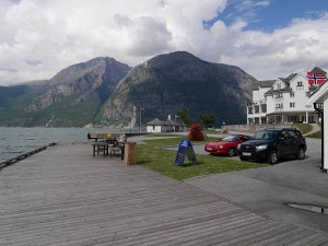
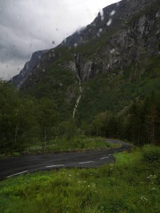
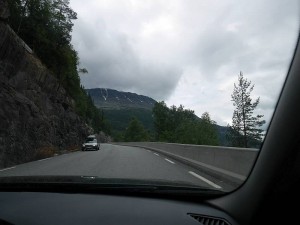
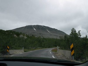
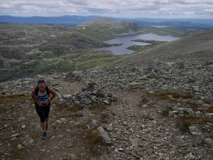
Quick summary of my week in Norway with Marie and Donnie Meldrum… part recce for Marie’s 2015 Norseman Xtreme Triathlon entry and part, well, just regular holiday! Noted in pseudo-diary form (= even fewer sentences than usual!) with photos ruthlessly (?) pruned from the 500+ I took to give a more-or-less representative taste of the whole, so not even necessarily all the ‘best’ shots…

Monday 28 July

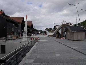
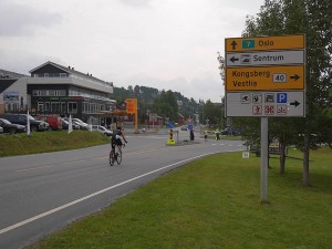
Flew Edinburgh to Bergen, picked up hire car (automatic BMW estate with just about enough space for Marie’s bike box, some modest luggage and the three of us) and drove via a late lunch stop at the Norseman start point of Eidfjord to Geilo, which I might introduce as the convenient, centrally-placed ski resort (somewhat reminiscent of Aviemore, but perhaps they all are?) where we were lucky enough to find suitable accommodation when planning the trip just weeks before. Initial discomfort (or maybe terror!) at driving on the right for first time since America 2006 presently allayed by getting the seat (too many levers here!) and mirrors properly adjusted for accurate road positioning.

2014-07-28eidfjord1 2014-07-28eidfjord2

Tuesday 29 July

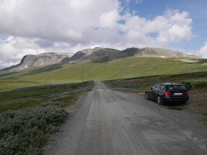
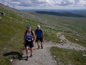
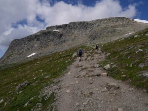
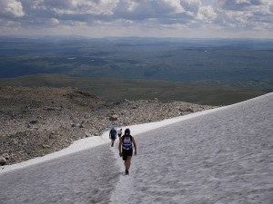
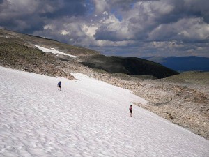
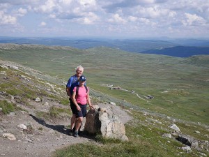
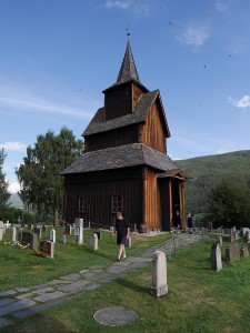
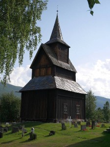
Up Prestholtskarvet (1,853m?) on the Hallingskarvet ridge/plateau. Pleasant walk reminiscent of high Cairngorms tops with substantial summer snow patch some bonus fun. Then to Torpo for a quick look at the 12th century stave church, but too late for a proper look inside. Donnie driving.

2014-07-29prestholtskarvet1 2014-07-29prestholtskarvet2

2014-07-29prestholtskarvet3 2014-07-29prestholtskarvet4

2014-07-29prestholtskarvet5 2014-07-29prestholtskarvet6

2014-07-29prestholtskarvet7 2014-07-29prestholtskarvet8

2014-07-29torpo1 2014-07-29torpo2

Wednesday 30 July

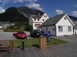
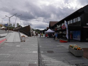
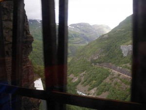
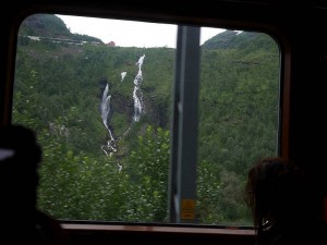
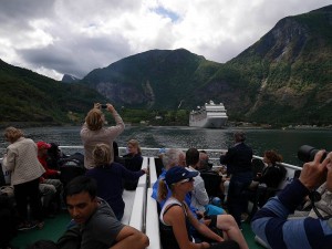
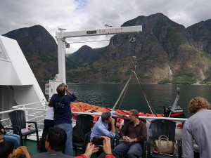
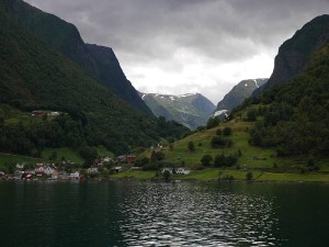
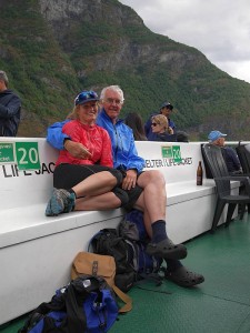
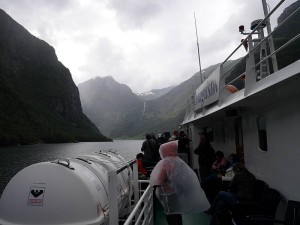
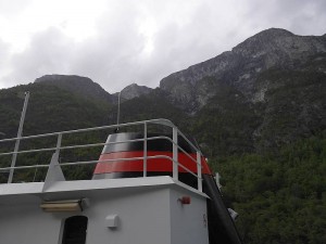
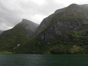
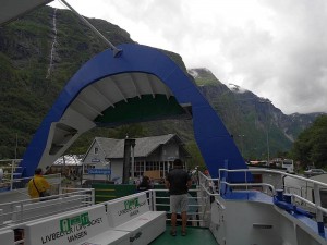
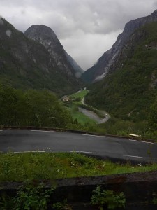
‘Norway in a Nutshell’ trip by train to Myrdal, train again to Flåm, ferry to Gudvangen, bus to Voss and train back to Geilo. Flåmsbana (famous steep branch line) quite sensational but tricky to photograph from packed train with everyone else trying to do same, so photos barely adequate but, yes, the track and buildings you see in both (second row down) are part of the same line! Ferry trip down Aurlandsfjorden and up Nærøyfjorden (allegedly the narrowest in Norway) equally stunning, then an unexpected bonus on the bus trip (just when we thought it was all over!) with an ever-so-steady descent of the hair-raising Stalheimskleiva (just Google it!) bringing applause from the passengers.

2014-07-30geilo1 2014-07-30geilo2

2014-07-30flamsbana1 2014-07-30flamsbana2

2014-07-30ferry1 2014-07-30ferry2

2014-07-30ferry3 2014-07-30ferry4

2014-07-30ferry5 2014-07-30ferry6

2014-07-30ferry7 2014-07-30ferry8

2014-07-30bus1 2014-07-30bus2

Thursday 31 July

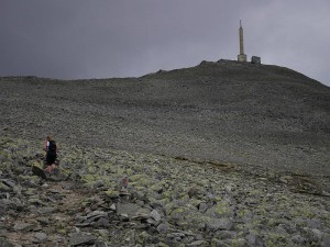
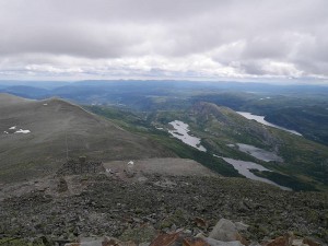
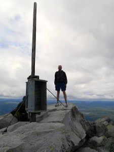
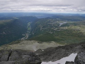
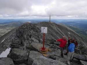
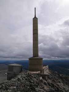
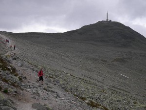
To Gaustatoppen (1,883m peak above Rjukan) to check out rest of Norseman cycle and run course, with Donnie driving. Marie and me taking one east-side trail up the hill and the other (which turns out to be the race route) down to cover all bases. Quick run along the ridge (Marie staying at radio tower) for me to tick true summit, with south (near) end easy going and north (far) straightforward, blocky scrambling (think ‘Carn Mor Dearg Arete’). Subsequent short diversion into Rjukan valley (famous ice-climbing centre) by car at my request.

2014-07-31gaustatoppen1 2014-07-31gaustatoppen2

2014-07-31gaustatoppen3 2014-07-31gaustatoppen4

2014-07-31gaustatoppen5 2014-07-31gaustatoppen6

2014-07-31gaustatoppen7 2014-07-31gaustatoppen8

2014-07-31gaustatoppen9 2014-07-31gaustatoppen10

2014-07-31gaustatoppen11 2014-07-31gaustatoppen12

2014-07-31gaustatoppen13 2014-07-31gaustatoppen14

Friday 1 August

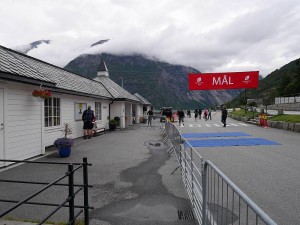
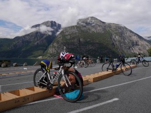
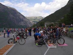
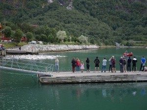
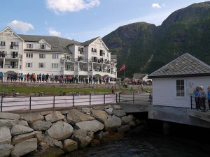
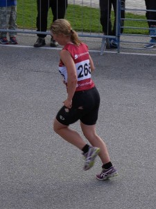
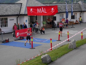
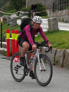
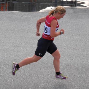
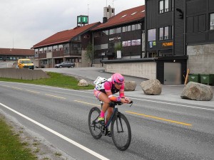
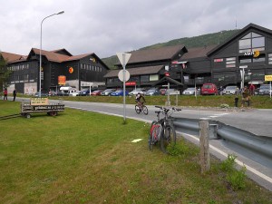
Return to Eidfjord via Vøring(s)fossen waterfalls (me driving) to catch the gathering Norseman vibe and let the birthday girl compete in Eidfjord ‘Mini’ (1/10 Norseman distance) Triathlon. And she was doing just fine (possible ladies’ podium) till knocked off her bike (quote ‘can’t wait to show off my war wounds and torn shorts’) by angry, overtaking Frenchman, after which she did well to get going again and still finish well up.

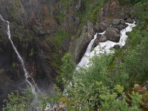
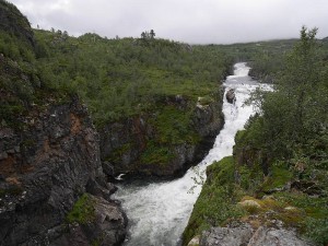
2014-08-01voringsfossen1 2014-08-01voringsfossen2

2014-08-01voringsfossen3 2014-08-01voringsfossen4

2014-08-01voringsfossen5

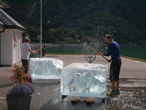
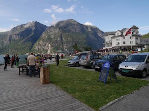
2014-08-01eidfjord1 2014-08-01eidfjord2

2014-08-01eidfjord3 2014-08-01eidfjord4

2014-08-01eidfjord5 2014-08-01eidfjord6

2014-08-01eidfjord7 2014-08-01eidfjord8

2014-08-01tornshorts 2014-08-01finish

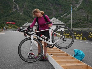
Two more photos added 6 August, belatedly cropped from larger shots (as was the ‘torn shorts’ pic) to show Marie’s pre-race bike testing and ‘war wounds’ we never saw in real time…

2014-08-01bike 2014-08-01warwounds

Saturday 2 August

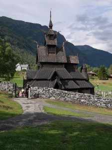
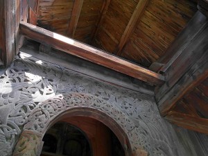
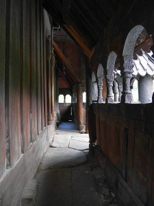
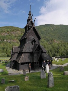
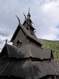
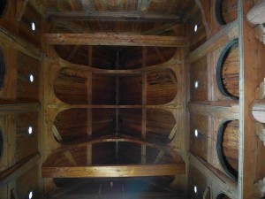
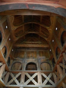
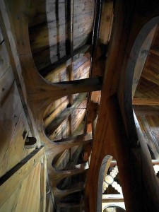
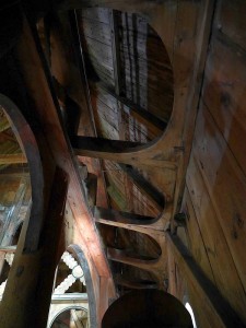
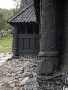
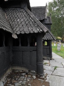
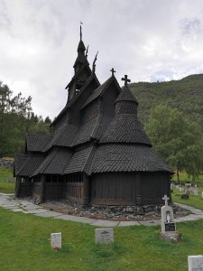
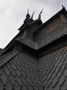
Pleasant couple of hours spent watching the Norseman come through Geilo before the rain hit. Then the first really wet stuff after hitherto (mostly) great sunny weather, so not too disappointed when enquiries about train times/costs to Finse (just three stops up the main Oslo to Bergen line) with thoughts of walking to the Hardangerjøkulen glacier snout resulted in discovery that 1. it couldn’t be done today, 2. it would have cost the earth for train standing room only (seats fully booked at weekends) and 3. times for tomorrow really wouldn’t sit well with the need for rest before subsequent overnight drive back to airport even if we’d wanted to pay 80% of our entire ‘Norway in a Nutshell’ train/ferry/bus fare for the privilege of retracing a fraction of that route. So off to the famous Borgund stave church instead (further than Marie thought when the 67km she quoted from the GPS turned out to be as the crow flies!), with Donnie driving there and me back. And what an interesting place that was (most original/characteristic/best-preserved surviving example?), with an excellent exhibition in the purpose-built visitor centre and the driest/brightest spell of the afternoon also adding much to the experience.

2014-08-02geilo1 2014-08-02geilo2

2014-08-02geilo3 2014-08-02geilo4

2014-08-02borgund1 2014-08-02borgund2

2014-08-02borgund3 2014-08-02borgund4

2014-08-02borgund5 2014-08-02borgund6

2014-08-02borgund7 2014-08-02borgund8

2014-08-02borgund9 2014-08-02borgund10

2014-08-02borgund11 2014-08-02borgund12

2014-08-02borgund13 2014-08-02borgund14

2014-08-02borgund15

Sunday 3 August

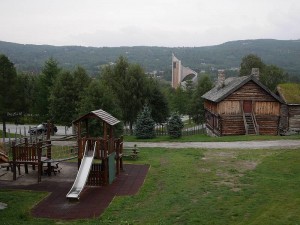
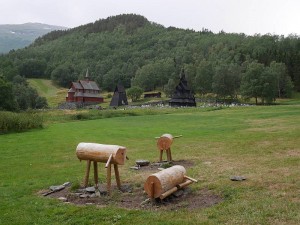
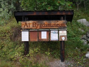
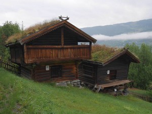
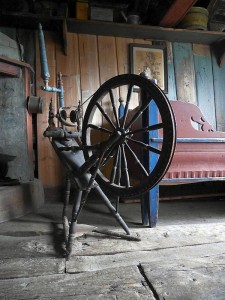
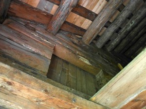
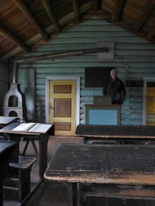
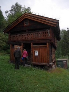
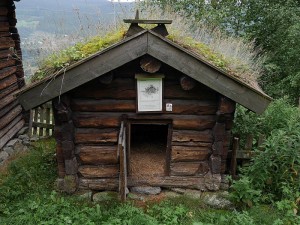
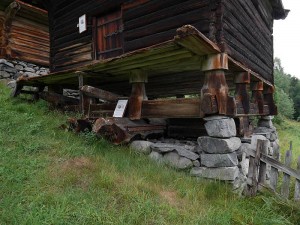
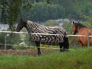
Speculative wee trip to Ål (on the Torpo/Borgund road, with me driving again), where we virtually stumbled across the fabulous Bygdamuseum with its fascinating insight into historic Norwegian buildings and interiors. And saw a horse/pony wearing a ‘zebra’ coat! Followed by a late afternoon/evening of attempted sleep before leaving for Bergen just before midnight.

2014-08-03al1 2014-08-03al2

2014-08-03al3 2014-08-03al4

2014-08-03al5 2014-08-03al6

2014-08-03al7 2014-08-03al8

2014-08-03al9 2014-08-03al10

2014-08-03al11 2014-08-03al12

2014-08-03al13 2014-08-03al14

2014-08-03al15 2014-08-03al16

2014-08-03al17 2014-08-03zebrahorse

‘Zebrahorse’ photo (100% crop from larger shot) added 6 August.

Monday 4 August

Flew Bergen to Edinburgh and home late morning, with head naturally still full of Norway and double-checking impressions of similarities/differences to Highland Scotland on the drive. So it’s bigger and typically steeper, but different/complementary (the colours being subtly different too) rather than just a supercharged version of the same thing. Somewhere I felt at home and look forward to seeing again with thoughts of more walking, running and possibly (on yet another trip?) climbing, but simultaneously (without doing down that Norwegian grandeur at all!) giving me renewed appreciation of our uniquely Scottish landscapes. And how surreal it felt to be out for an afternoon run above the head of the Leven(s)fjord (now don’t go looking for that one on the map!) thinking ‘this morning I was in Norway!’ :-)

25 July 2014

West of Glen Shee

Filed under: Cycling,Running — admin @ 6:19 pm

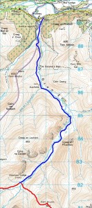
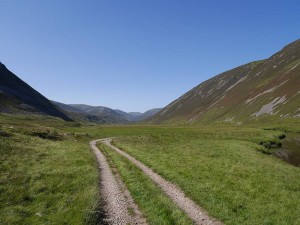
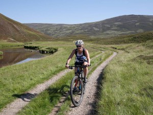
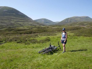
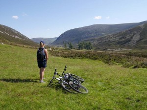
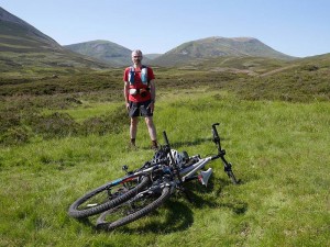
Till 10:00pm Wednesday we were going to mop up the Munros and Tops on either side of Glen Shee. But Marie quite likes cycling, I stumbled over a tempting photo of Glen Ey (not unlike my first one here) in the SMC Munros book, and taking the bikes to get the other ‘batch’ of Glen Shee Ms & Ts suddenly seemed like a good idea. So I got straight on the phone (‘need the bikes after all, take my van instead of your car, is that OK?’) and, with ‘bikes’ being exactly what Marie wanted to hear, that’s exactly what we did! And Glen Ey’s a great wee ride… good track, easy going, doesn’t feel conspicuously uphill on the way in but finally shines with flowing delight on a fast return with 180m of height to lose over not quite six miles.

2014-07-24map1 2014-07-24map2

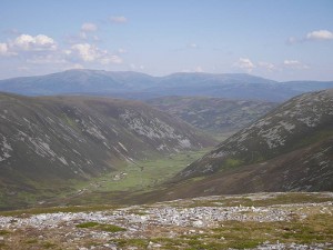
As for the surrounding hills, well, they’re OK. Easy-going Eastern puddings, not numbered among the country’s greatest peaks but not devoid of attractive features like the sparkling Loch nan Eun, and still blessed by great views of the Cairngorms (continous prospect of the southern skyline with a good three-quarters of the 18 full Munros identifiable from some points), Lochnagar and Beinn a’ Ghlo. And we got our routing spot-on in for once in terms of economy, taking the cue from Butterfield to link Beinn Iutharn Bheag straight to Glas Tulaichean rather than its ‘parent’ peak of Beinn Iutharn Mhor, but ignoring his curious anticlockwise figure-of-eight progression from An Socach to Carn Bhac (later logically attributed to his recommendation to ‘climb An Socach first, bivouac in the soft grass near the ruins of Altanour Lodge and take in the other hills on the following day’) in favour of the steep drop WSW off An Socach for a clockwise round. On which note, having visually estimated this slope at 35–40°, I was later pleased to confirm the steepest part (craggy ground at tops of photos in sequence starting with marie5.jpg) with map and calculator to hand at c.37.6°!

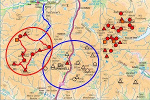
So we did the peaks ringed red on Map 3 rather than those ringed blue, but it’s ultimately six-and-half-a-dozen (or perhaps five-and-half-a-dozen here!) when I need them all and, apart from some continued unease at numbering the desecrated nonentity of The Cairnwell as my sole ‘conquest’ (well, at least I did it on foot!) of that central group, if anything leaves things in a more convenient state for polishing off than the other way round.

2014-07-24map3

While most of the following photos (whether taken by me or Marie) came from my camera, the final shot of me on my bike is one of Marie’s.

2014-07-24gleney1 2014-07-24marie1

2014-07-24marie2 2014-07-24marie3

2014-07-24pete1 2014-07-24gleney2

2014-07-24beinniutharnbheag 2014-07-24marie4

2014-07-24marie5 2014-07-24marie6

2014-07-24marie7 2014-07-24marie8

2014-07-24cairngorms1 2014-07-24marie9

2014-07-24marie10 2014-07-24ansocachandlochnagar

2014-07-24lochnaneun 2014-07-24glastulaichean1

2014-07-24glastulaichean2 2014-07-24marie11

2014-07-24pete2 2014-07-24pete3

2014-07-24marie12 2014-07-24marie13

2014-07-24cairngorms2 2014-07-24beinnaghlo

2014-07-24marie14 2014-07-24descent

2014-07-24pete4

23 July 2014

The Thirty-Nine Steps

Filed under: Climbing,Running,Walking — admin @ 12:34 pm

Totted up my Munros after Monday’s not-exactly-Cluanie Horseshoe and came to 243, which means (discounting the Tops and Deletions I won’t finish without) I have 39 full Ms to go. So what an excuse for a silly blog title, and here (after a Facebook dry run) we go…

2014-07-23thirtynine

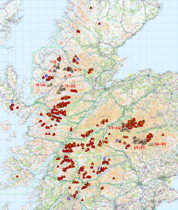
Nae ‘Munro-Lite’ here, with this lot (not forgetting associated Tops and Deletions) set to give me everything that’s been in Munro’s Tables! So 39 of 282 Munros to go, or approximately 80 of 600 (?) recorded ‘summits’, with about 20 hill days looking necessary to mop up the remaining main peaks + missed odds and ends (see A–G below).

Listed North to South and not (still evolving) target order:

1–5 Fisherfield Six (five + demoted Beinn a’ Chlaidheimh!)
6–11 Fannichs
12 Slioch (saving for last!)
13 Fionn Bheinn
14–16 Beinn Liath Mhor, Sgorr Ruadh, Maol Chean-Dearg
17–22 Moruisg, Maoile Lunndaidh, Sgurr a’ Chaorachain, Sgurr Choinnich, Lurg Mhor, Bidean a’ Choire Sheasgaich (+ demoted Sgurr nan Ceannaichean!)
23–26 Sgor Gaoith, Mullach Clach a’ Bhlair, Monadh Mor, Beinn Bhrotain
27–37 Glenshee
38–39 Mayar, Driesh

A Ceann Garbh (old position): deleted position of Top I missed because I guessed at (and went to) something else without it marked on my map (have already got Ceann Garbh as marked now)
B Meall Dearg (Northern Pinnacles of Liathach)
C Sgurr a’ Fionn Choire (eastern Top of Bruach na Frithe)
D Beinn Gharbh (deleted Top of ‘Ring of Tarf’ Beinn Dearg missed because I didn’t know I wanted it!)
E Deleted old grid reference for Meall Garbh (Carn Mairg group) + Meall Luaidhe (deleted Top)
F Sron dha-Murchdi (deleted Top of Meall Corranaich… can be picked up same day as E above)
G Beinn an Lochain (long demoted to Corbett)

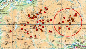
For anyone who’s not yet sussed out my peak symbols, they’re Triangle = Munro (filled red when done), Circle = Top (red), Square = Deletion (orange) and Star = Corbett (which takes a yellow fill and here means sub-3,000ft ex-Munro). But afraid you’ll never see them all on a map at the scale above (not even clicking through for the ‘full-size’ version, which will just give you a clearer view of the same thing), with the Munros frequently buried under jumbles of Tops and Deletions and no obvious way to arrange a Memory-Map overlay in prioritised layers. (Think exporting as .csv, reordering and reimporting might just work, but never tried it… and it’s just not an issue when zooming in for planning or printing at 1:50,000 etc. to use!)

[Edit: 16 August 2015… yes, it’s possible, but the only ‘clean’ method I’ve found is to export the separate categories as .mmo files, delete all overlays, close Memory-Map, reopen, then import the categorised .mmo overlays ‘bottom-up’ so the first imported forms the bottom layer and last imported forms the top.]

Now, I’ve little doubt that I’d have finished my Munros long ago if just targeting the 282 (or the 284 there’d still have been had that been my aim), but there’ll be no caving in when not even Ben Avon’s four Tops, seven Deletions and 20 miles of wandering to its single Munro could break my resolve. So that’s just the kind of thing you have to deal with if you’re me… 18 full Munros in the whole of the Cairngorms, but 18 summits (just two of them Munros) between Ben Avon and Beinn a’ Bhuird alone! By no means the only example of ‘straggly Top syndrome’ but easily the most glaring, though the likes of the Carn Eige/Mam Sodhail/Ceathreamhnan massif (eight Ms, eighteen Ts, six Ds), The Saddle (one M, three Ts, four Ds), An Teallach (two Ms, seven Ts, one D), Ben Wyvis (one M, three Ts, three Ds) and the Gorms as a whole (just look at all those circles and squares!) are also pretty good. And there’s precious little on any of those (perhaps just the odd Gormlet?) I didn’t think worthwhile…

2014-07-23cairngorms

So c.20 days left to completely ‘compleat’, and I could be finished this summer but for late July and August already being pretty well assigned to other things. But we’re still getting into ‘endgame’ territory here, and (with the analysis above to spur me on) perhaps it doesn’t have to be so very much longer!

22 July 2014

Not exactly ‘Cluanie’!

Filed under: Cycling,Running — admin @ 9:15 pm

It’s known as the ‘Cluanie Horseshoe’, but what a daft name for a circuit that’s only really a horseshoe when taken from the north, with many miles of road separating the logical starting point up Glen Affric from Cluanie just a short crow’s flight to the south and no remotely tidy way to link its Munros and Tops from its ‘named’ side! So perhaps it might be better termed the ‘Cralaig Horseshoe’ when it’s readily identifiable with A’ Chralaig as its dominant (highest) peak and you’ve also got Coire na Cralaig and Lochan na Cralaig in there? But (call it what you will) post the question on Facebook…

dig out the bike to cycle in by Loch Affric or take the shorter drive to mount a bloody-minded assault from the south?

And you get the answer from Marie Meldrum…

Bike in, with me… TOMORROW!!!

So that’s exactly what we did. Except that tomorrow’s now yesterday and we had to chuck in a bonus Corbett as well (!) to give a day’s total of not quite 12 miles cycling and nearly 21 miles on foot, with c.1,500 and 9,000ft of ascent respectively for the two modes of transport…

2014-07-21map1 2014-07-21map2

But, since it would take me pretty well the 10 hours 38 minutes that took us (including a good couple of hours for bike stashing/recovery and leisurely food/camera stops) to describe the day in terms that do it justice, I’m just going to leave a selection of photos to speak largely for themselves with a few quick observations to get going. Like…

  • Total midge hell as we unloaded the van in an alternating flurry of semi-preparation and sweary ‘dancing’.
  • That lovely, atmospheric start (once midge-free!) to the traverse with morning mist drifting in and out of our space.
  • Marie’s belatedly-discovered, slow-burning lobster impersonation after declining the sunscreen she didn’t need but insisted I needed now.
  • Multiple ridge-crossing deer with young apparently (initially) oblivious of our presence on the rise up to Drochaid an Tuill Easaich.
  • Those lovely, broad, runnable ridges that don’t feel like the rugged ‘West Coast’ hills we know and love at all (perhaps because they’re not really?).
  • Stunning views from Ben Nevis and the Grey Corries to Torridon and beyond.
  • And Marie’s prolonged encounter with that too-cool-to-run mountain hare pair.

2014-07-21marie1 2014-07-21pete1

2014-07-21pete2 2014-07-21ridge1

2014-07-21deer1 2014-07-21deer2

2014-07-21marie2 2014-07-21ridge2

2014-07-21ridge3 2014-07-21ridge4

2014-07-21marie3 2014-07-21marie4

2014-07-21pete3 2014-07-21ridge5

2014-07-21ridge6 2014-07-21ruin1

2014-07-21ruin2 2014-07-21corbett1

2014-07-21corbett2 2014-07-21corbett3

2014-07-21marie5 2014-07-21pete4

2014-07-21marie6 2014-07-21corbett4

2014-07-21corbett5 2014-07-21marie7

2014-07-21marie8 2014-07-21bikes

« Newer PostsOlder Posts »

Blog powered by WordPress. Feedback to webmaster@petestack.com.